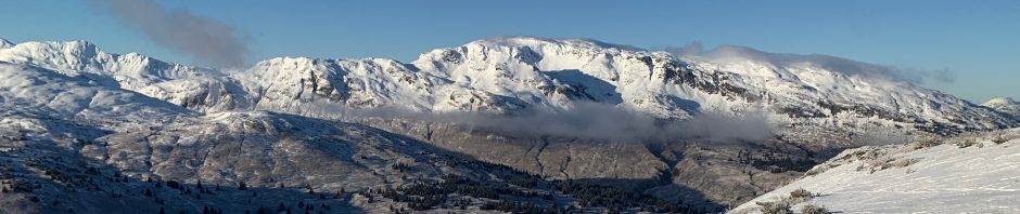
For the training following the March KISAR general membership meeting, Philip presented a talk on resources for planning backcountry travel across the island or throughout the archipelago for SAR missions or personal travel. The focus will be on satellite mapping resources for route planning, recent high-resolution satellite imagery for snowpack or vegetation evaluation, land ownership and access maps, shorezone and coastal imagery for paddle sports, weather forecasting services, and understanding tides and currents in the archipelago.
These are links to the topics that were covered during the training:
Mapping Resources:
• Google Earth: earth.google.com
• GaiaGPS: www.gaiagps.com
• Bing Google Earth layer: ge-map-overlays.appspot.com/bing-maps
• USGS Topo Google Earth layer: www.earthpoint.us/topomap.aspx
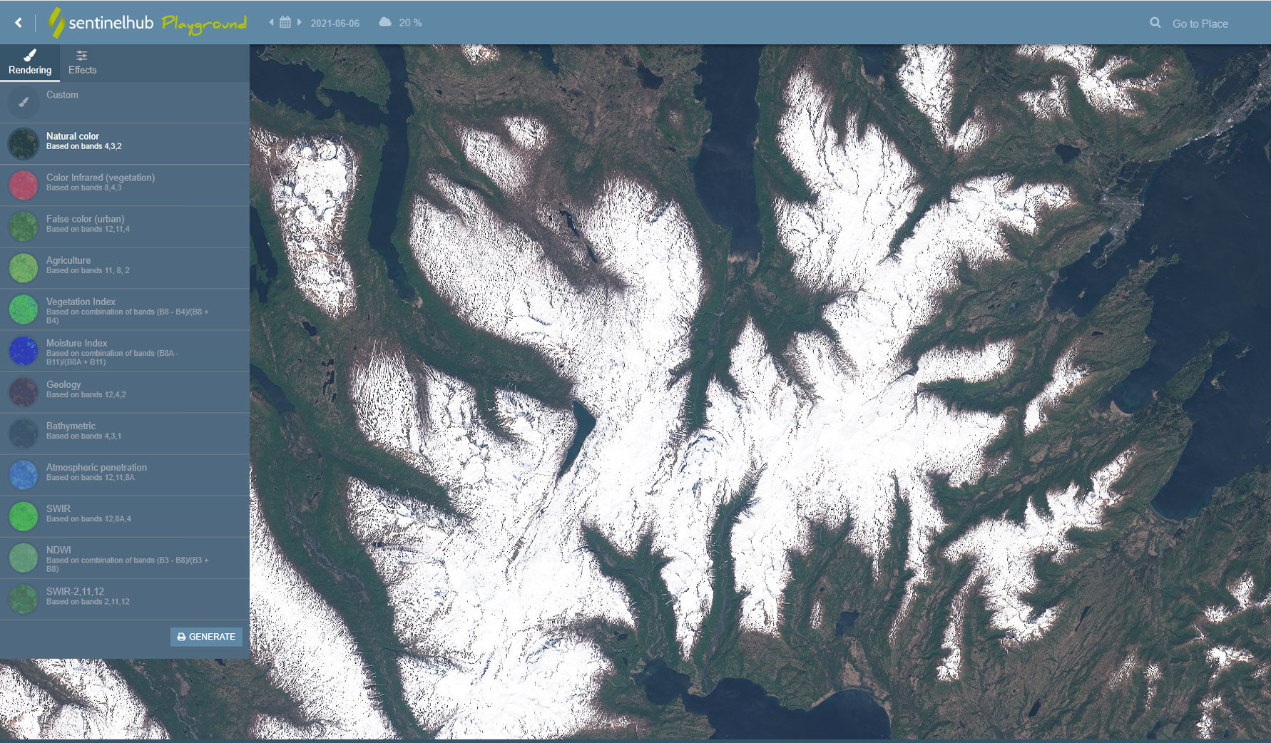
Satellite Imagery Resources:
• Google Maps: www.google.com/maps
• Bing Maps: www.bing.com/maps
• Apple Maps: www.apple.com/maps
• Sentinel Hub Playground: apps.sentinel-hub.com/sentinel-playground
Weather and Tide Prediction Resources:
• Windy: www.windy.com
• FAA Weather Cams: weathercams.faa.gov/map/-153.15256,57.55372,-151.8342,57.93155/airport/ADQ/details/camera
• WX2InReach: wx2inreach.weebly.com
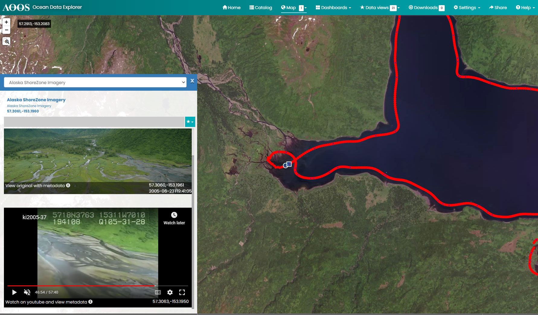
• AOOS Alaska Shorezone Viewer: portal.aoos.org/#map
• Tide App for Tides and Predicting Currents: apps.apple.com/us/app/tide-charts/id957143504
Land Access Resources:
• Kodiak Island Borough GIS Viewer: kiborough.maps.arcgis.com/apps/Viewer/index.html?appid=2700ff448c894424941a203264c04e2f
• State DNR land access/easements: dnr.alaska.gov/mlw/planning/atlas/kodiak-island/
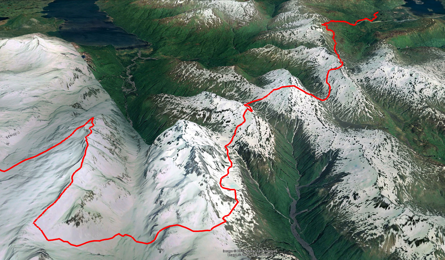
Google Earth route planning:
Sentinel Hub near-time satellite imagery:
AOOS portal for Alaska Shorezone imagery and video: